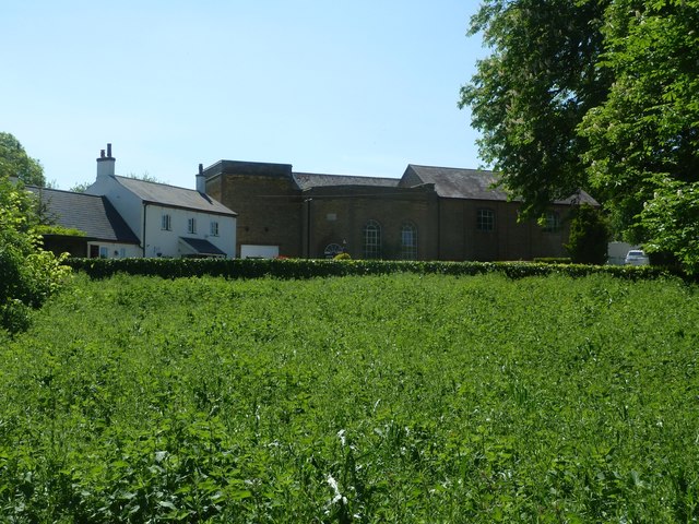
Tringford Pumping Station
Introduction
The photograph on this page of Tringford Pumping Station by Rob Farrow as part of the Geograph project.
The Geograph project started in 2005 with the aim of publishing, organising and preserving representative images for every square kilometre of Great Britain, Ireland and the Isle of Man.
There are currently over 7.5m images from over 14,400 individuals and you can help contribute to the project by visiting https://www.geograph.org.uk

Image: © Rob Farrow Taken: 9 May 2020
This Grade II listed building https://historicengland.org.uk/listing/the-list/list-entry/1067754 was constructed in 1816-17 to pump water from the group of four Tring reservoirs into the summit level of the Grand Union Canal via the Wendover Arm. Seen here from the footpath which skirts the western perimeter of Tringford Reservoir. See also Image] & Image] For a good view of the whole pumping station, see Image]

