Deerpark Drive, Packmores estate, north Warwick
Introduction
The photograph on this page of Deerpark Drive, Packmores estate, north Warwick by Robin Stott as part of the Geograph project.
The Geograph project started in 2005 with the aim of publishing, organising and preserving representative images for every square kilometre of Great Britain, Ireland and the Isle of Man.

There are currently over 7.5m images from over 14,400 individuals and you can help contribute to the project by visiting https://www.geograph.org.uk
Deerpark Drive, Packmores estate, north Warwick
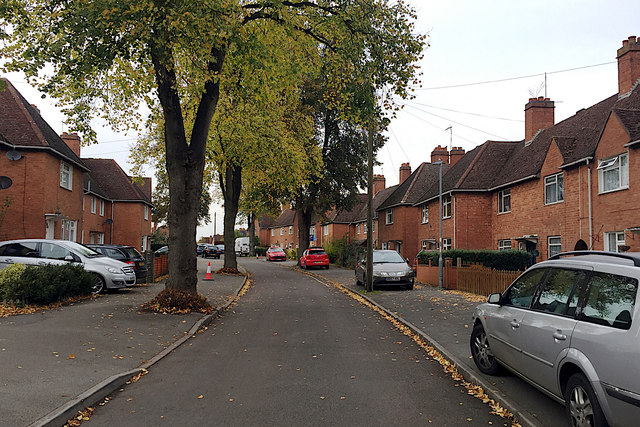
Image: © Robin Stott Taken: 30 Oct 2019
This council housing first appears in outline on a map of 1938. Looking north towards Wedgnock Green.
Images are licensed for reuse under creativecommons.org/licenses/by-sa/2.0
Image Location
Latitude
52.288548
Longitude
-1.590925