Track down Beacon Hill near Ettingshall Park, Wolverhampton
Introduction
The photograph on this page of Track down Beacon Hill near Ettingshall Park, Wolverhampton by Roger Kidd as part of the Geograph project.
The Geograph project started in 2005 with the aim of publishing, organising and preserving representative images for every square kilometre of Great Britain, Ireland and the Isle of Man.

There are currently over 7.5m images from over 14,400 individuals and you can help contribute to the project by visiting https://www.geograph.org.uk
Track down Beacon Hill near Ettingshall Park, Wolverhampton
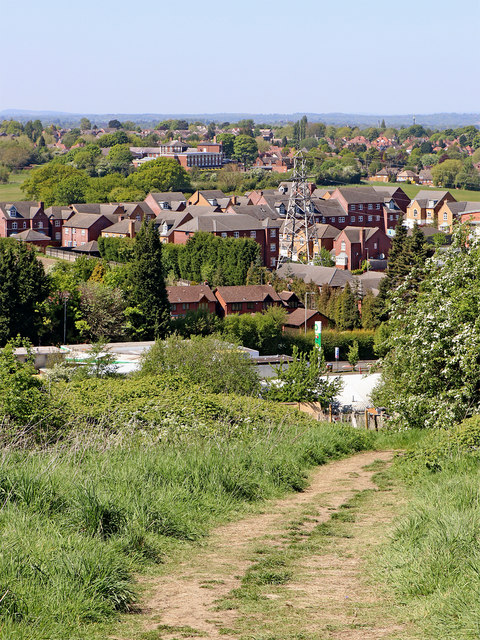
Image: © Roger Kidd Taken: 6 May 2020
West of Ettingshall Park, this track from the summit of Beacon Hill approaches Wolverhampton Road, about two hundred metres ahead. The housing is adjacent to the Beacon Centre for the Blind. A telephoto assisted image.
Images are licensed for reuse under creativecommons.org/licenses/by-sa/2.0
Image Location


Leaflet Map data © OpenStreetMap
Latitude
52.556284
Longitude
-2.124443