A bend in the B7086 near Dykehead
Introduction
The photograph on this page of A bend in the B7086 near Dykehead by wrobison as part of the Geograph project.
The Geograph project started in 2005 with the aim of publishing, organising and preserving representative images for every square kilometre of Great Britain, Ireland and the Isle of Man.

There are currently over 7.5m images from over 14,400 individuals and you can help contribute to the project by visiting https://www.geograph.org.uk
A bend in the B7086 near Dykehead
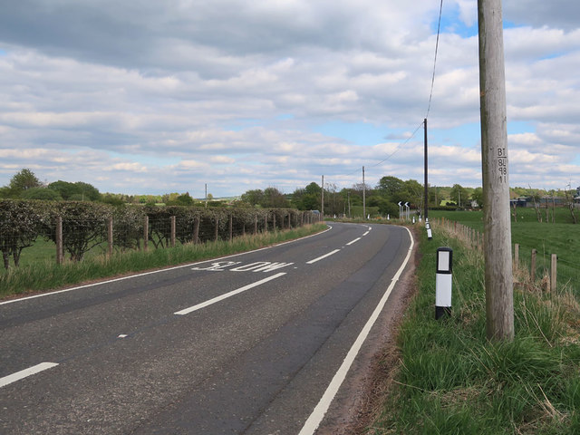
Image: © wrobison Taken: 13 May 2020
With BT poles on the right. The nearest pole dates from 1998, the darker pole is newer and was probably replaced after a traffic accident.
Images are licensed for reuse under creativecommons.org/licenses/by-sa/2.0
Image Location


Leaflet Map data © OpenStreetMap
Latitude
55.654867
Longitude
-3.959449