The Doncaster Road
Introduction
The photograph on this page of The Doncaster Road by David Brown as part of the Geograph project.
The Geograph project started in 2005 with the aim of publishing, organising and preserving representative images for every square kilometre of Great Britain, Ireland and the Isle of Man.

There are currently over 7.5m images from over 14,400 individuals and you can help contribute to the project by visiting https://www.geograph.org.uk
The Doncaster Road
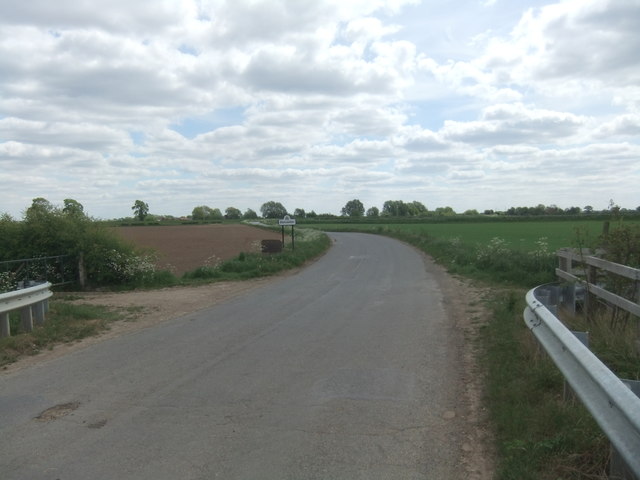
Image: © David Brown Taken: 15 May 2020
An unsuspecting traveller might think that the Doncaster sign implies that the town is close by whereas it is at least 10 miles as the crow flies and a good deal more by road.
Images are licensed for reuse under creativecommons.org/licenses/by-sa/2.0
Image Location
Latitude
53.659312
Longitude
-0.99534