A picnic table left out of bounds
Introduction
The photograph on this page of A picnic table left out of bounds by Neil Owen as part of the Geograph project.
The Geograph project started in 2005 with the aim of publishing, organising and preserving representative images for every square kilometre of Great Britain, Ireland and the Isle of Man.

There are currently over 7.5m images from over 14,400 individuals and you can help contribute to the project by visiting https://www.geograph.org.uk
A picnic table left out of bounds
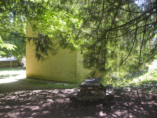
Image: © Neil Owen Taken: 14 May 2020
The lockdown of 2020 has meant that use of this and other tables are now prohibited. See Image] for a notice attached.
Images are licensed for reuse under creativecommons.org/licenses/by-sa/2.0
Image Location
Latitude
51.381802
Longitude
-2.323254