Former pub, Kenton Road, Coxlodge, Newcastle upon Tyne
Introduction
The photograph on this page of Former pub, Kenton Road, Coxlodge, Newcastle upon Tyne by Graham Robson as part of the Geograph project.
The Geograph project started in 2005 with the aim of publishing, organising and preserving representative images for every square kilometre of Great Britain, Ireland and the Isle of Man.

There are currently over 7.5m images from over 14,400 individuals and you can help contribute to the project by visiting https://www.geograph.org.uk
Former pub, Kenton Road, Coxlodge, Newcastle upon Tyne
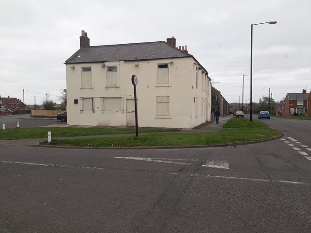
Image: © Graham Robson Taken: 13 Apr 2020
The former Trap pub on the corner of Kenton Road and Carrfield Road. Image suggests that in 2007 the pub was still operating. By the time of Image in 2011 the pub had closed though some signage remained. The building is now almost entirely boarded up with all signage removed.
Images are licensed for reuse under creativecommons.org/licenses/by-sa/2.0
Image Location
Latitude
55.008462
Longitude
-1.64129