Hilltop House, Derringstone Hill
Introduction
The photograph on this page of Hilltop House, Derringstone Hill by John Baker as part of the Geograph project.
The Geograph project started in 2005 with the aim of publishing, organising and preserving representative images for every square kilometre of Great Britain, Ireland and the Isle of Man.

There are currently over 7.5m images from over 14,400 individuals and you can help contribute to the project by visiting https://www.geograph.org.uk
Hilltop House, Derringstone Hill
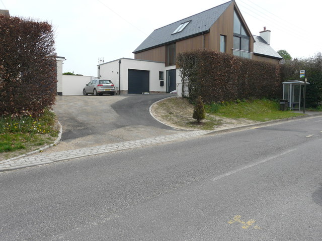
Image: © John Baker Taken: 16 Apr 2020
The house was built on Image It’s very handy if one wants to catch a bus (they run every two hours), as there is a stop to the right of the entrance.
Images are licensed for reuse under creativecommons.org/licenses/by-sa/2.0
Image Location
Latitude
51.199023
Longitude
1.157065