Lane near Llwyn-Madoc
Introduction
The photograph on this page of Lane near Llwyn-Madoc by John Gibson as part of the Geograph project.
The Geograph project started in 2005 with the aim of publishing, organising and preserving representative images for every square kilometre of Great Britain, Ireland and the Isle of Man.

There are currently over 7.5m images from over 14,400 individuals and you can help contribute to the project by visiting https://www.geograph.org.uk
Lane near Llwyn-Madoc
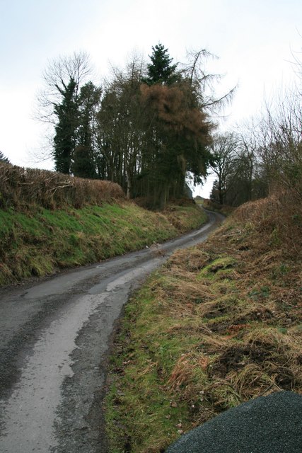
Image: © John Gibson Taken: 1 Jan 2008
This worn out old lane climbs westwards at around 1:5 to 1:6 passing the farm at Llwyn-Madoc and heading in the rough direction of Pentre. The road surface shows the effects of constant water flows and weathering, while the photo is taken from a point on the road which periodically needs to be forded.
Images are licensed for reuse under creativecommons.org/licenses/by-sa/2.0
Image Location
Latitude
52.465378
Longitude
-3.359456