Downstream along the Ure
Introduction
The photograph on this page of Downstream along the Ure by Gordon Hatton as part of the Geograph project.
The Geograph project started in 2005 with the aim of publishing, organising and preserving representative images for every square kilometre of Great Britain, Ireland and the Isle of Man.

There are currently over 7.5m images from over 14,400 individuals and you can help contribute to the project by visiting https://www.geograph.org.uk
Downstream along the Ure
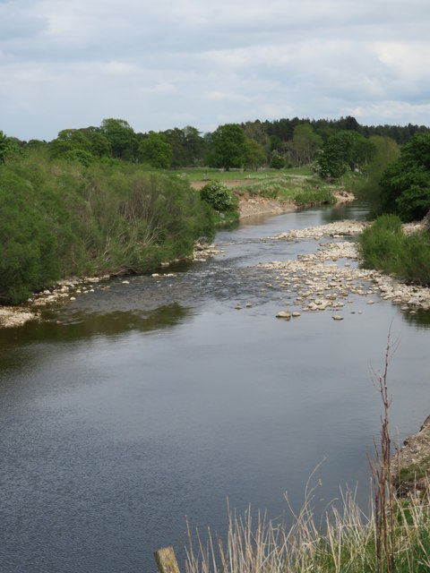
Image: © Gordon Hatton Taken: 13 May 2020
Looking downstream from the bank along which runs the path from North Stainley to Sleningford Mill.
Images are licensed for reuse under creativecommons.org/licenses/by-sa/2.0
Image Location


Leaflet Map data © OpenStreetMap
Latitude
54.194538
Longitude
-1.562845