Benchmark on a utility building, Bath University
Introduction
The photograph on this page of Benchmark on a utility building, Bath University by Neil Owen as part of the Geograph project.
The Geograph project started in 2005 with the aim of publishing, organising and preserving representative images for every square kilometre of Great Britain, Ireland and the Isle of Man.

There are currently over 7.5m images from over 14,400 individuals and you can help contribute to the project by visiting https://www.geograph.org.uk
Benchmark on a utility building, Bath University
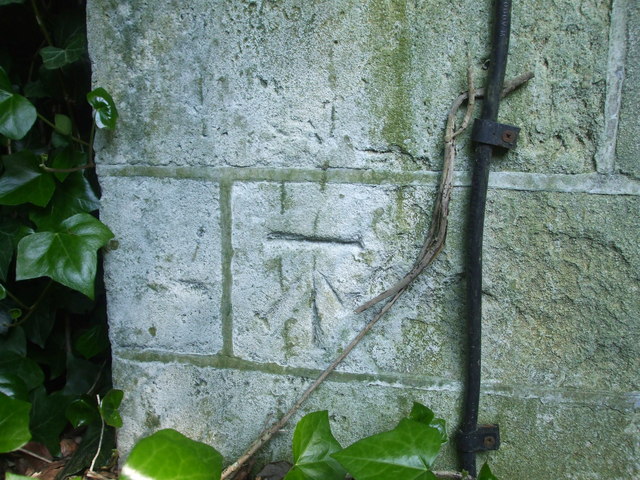
Image: © Neil Owen Taken: 14 May 2020
A cutmark of post-war age on a small and rather overgrown building at the southern end of the Uni. See Image] for a wider view and https://www.bench-marks.org.uk/bm121057 for the entry in the Benchmark Database.
Images are licensed for reuse under creativecommons.org/licenses/by-sa/2.0
Image Location
Latitude
51.377286
Longitude
-2.33055