Farmland, Uffington
Introduction
The photograph on this page of Farmland, Uffington by Andrew Smith as part of the Geograph project.
The Geograph project started in 2005 with the aim of publishing, organising and preserving representative images for every square kilometre of Great Britain, Ireland and the Isle of Man.

There are currently over 7.5m images from over 14,400 individuals and you can help contribute to the project by visiting https://www.geograph.org.uk
Farmland, Uffington
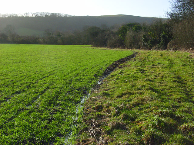
Image: © Andrew Smith Taken: 29 Dec 2007
Beside the footpath north of Britchcombe Farm. The waterlogged nature of the ground can be detected in the foreground. This is just below the line of springs that rise beneath the downland scarp. A brook is in the trees to the right.
Images are licensed for reuse under creativecommons.org/licenses/by-sa/2.0
Image Location
Latitude
51.586424
Longitude
-1.558287