Uttoxeter Road
Introduction
The photograph on this page of Uttoxeter Road by Malcolm Neal as part of the Geograph project.
The Geograph project started in 2005 with the aim of publishing, organising and preserving representative images for every square kilometre of Great Britain, Ireland and the Isle of Man.

There are currently over 7.5m images from over 14,400 individuals and you can help contribute to the project by visiting https://www.geograph.org.uk
Uttoxeter Road
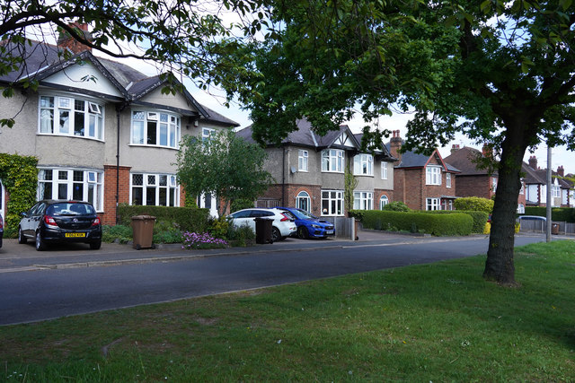
Image: © Malcolm Neal Taken: 14 May 2020
The houses in the image are on a short parallel stretch of road to Uttoxeter Road but still have addresses that are called Uttoxeter Road.
Images are licensed for reuse under creativecommons.org/licenses/by-sa/2.0
Image Location
Latitude
52.905785
Longitude
-1.540386