A bend in the river
Introduction
The photograph on this page of A bend in the river by Gordon Hatton as part of the Geograph project.
The Geograph project started in 2005 with the aim of publishing, organising and preserving representative images for every square kilometre of Great Britain, Ireland and the Isle of Man.

There are currently over 7.5m images from over 14,400 individuals and you can help contribute to the project by visiting https://www.geograph.org.uk
A bend in the river
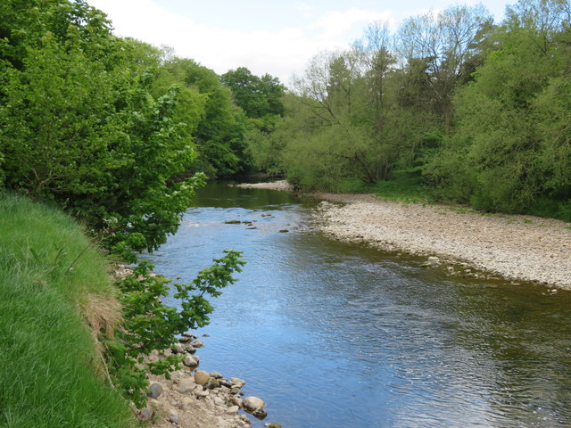
Image: © Gordon Hatton Taken: 13 May 2020
Looking upstream along the Ure which disappears from view at this point and is not seen again from the Tanfield to Mickley path.
Images are licensed for reuse under creativecommons.org/licenses/by-sa/2.0
Image Location
Latitude
54.189981
Longitude
-1.596302