CBM - St. George's Church, Ashtead
Introduction
The photograph on this page of CBM - St. George's Church, Ashtead by Peter Vince as part of the Geograph project.
The Geograph project started in 2005 with the aim of publishing, organising and preserving representative images for every square kilometre of Great Britain, Ireland and the Isle of Man.

There are currently over 7.5m images from over 14,400 individuals and you can help contribute to the project by visiting https://www.geograph.org.uk
CBM - St. George's Church, Ashtead
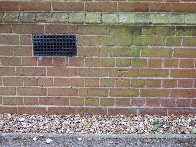
Image: © Peter Vince Taken: 13 May 2020
Close-up of the OS cut-mark on the western end of St. George's church in (Lower) Ashtead, Surrey. Waypoint: B13107 on the Bench-Marks website: https://www.bench-marks.org.uk/bm39887
Images are licensed for reuse under creativecommons.org/licenses/by-sa/2.0
Image Location
Latitude
51.314221
Longitude
-0.30884