Railway Bridge, Otterspool Park
Introduction
The photograph on this page of Railway Bridge, Otterspool Park by Sue Adair as part of the Geograph project.
The Geograph project started in 2005 with the aim of publishing, organising and preserving representative images for every square kilometre of Great Britain, Ireland and the Isle of Man.

There are currently over 7.5m images from over 14,400 individuals and you can help contribute to the project by visiting https://www.geograph.org.uk
Railway Bridge, Otterspool Park
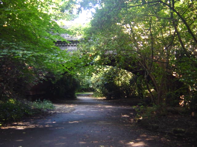
Image: © Sue Adair Taken: 15 Aug 2005
Railway bridge on the Southport to Hunts Cross Merseyrail line in Otterspool Park, a natural valley where once a creek known as Osklesbrok cascaded into the river Mersey. This little park has a long and interesting history, it was a fine source of fish (and therefore Otters) and local monks established a fishery in 1264. On the southern boundary of the hunting park of Toxteth, many of the new tenants were part of a community of Puritans and the farms behind the ancient deer park wall soon became known as the 'Holy Land'. The sect took their religious fervour to the extreme by renaming the Osklesbrok the 'River Jordan' and one of the nearby farms 'Jericho'. A snuffmill was constructed at the mouth of the creek in 1779 and by 1812 a fine house had been built within the creek of Otterspool by John Moss who turned the snuff mill into an oil mill, building embankments to give barges direct access to his factory. The promenade was constructed in 1950 sealing Otterspool forever. For more info see: www.btinternet.com/~m.royden/mrlhp/local/otterspool/otters.htm
Images are licensed for reuse under creativecommons.org/licenses/by-sa/2.0
Image Location


Leaflet Map data © OpenStreetMap
Latitude
53.3681
Longitude
-2.934746