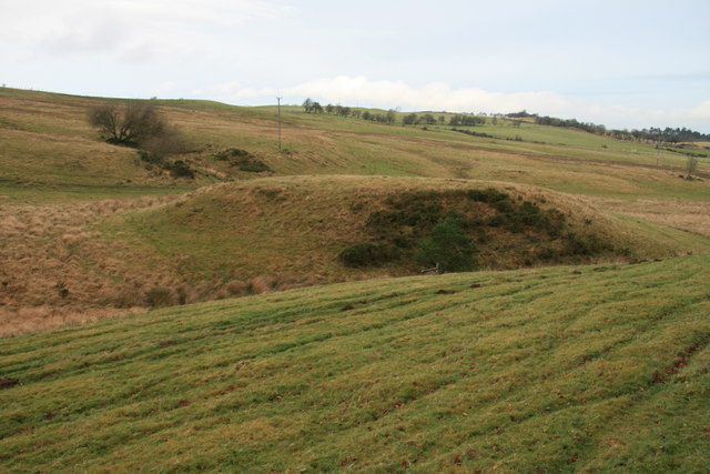
Tomen Bryn Dadlau Mound
Introduction
The photograph on this page of Tomen Bryn Dadlau Mound by John Gibson as part of the Geograph project.
The Geograph project started in 2005 with the aim of publishing, organising and preserving representative images for every square kilometre of Great Britain, Ireland and the Isle of Man.
There are currently over 7.5m images from over 14,400 individuals and you can help contribute to the project by visiting https://www.geograph.org.uk

Image: © John Gibson Taken: 1 Jan 2008
The large mound at the centre of this picture looks man-made and has long been considered by some historians to be the site of a medieval fortification or palace. However, it is almost certainly a naturally formed glacial mound. It lies beside the road from Seven Wells to Bryn Dadlau and the wind farm beyond.

