'No Public Right of Way' - south of Madgeland Farm
Introduction
The photograph on this page of 'No Public Right of Way' - south of Madgeland Farm by Ian Hawfinch as part of the Geograph project.
The Geograph project started in 2005 with the aim of publishing, organising and preserving representative images for every square kilometre of Great Britain, Ireland and the Isle of Man.

There are currently over 7.5m images from over 14,400 individuals and you can help contribute to the project by visiting https://www.geograph.org.uk
'No Public Right of Way' - south of Madgeland Farm
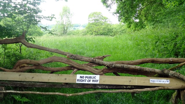
Image: © Ian Hawfinch Taken: 12 May 2020
You're not allowed to sit on the right-hand side - but can you sit on the left?
Images are licensed for reuse under creativecommons.org/licenses/by-sa/2.0
Image Location
Latitude
51.021716
Longitude
-0.382115