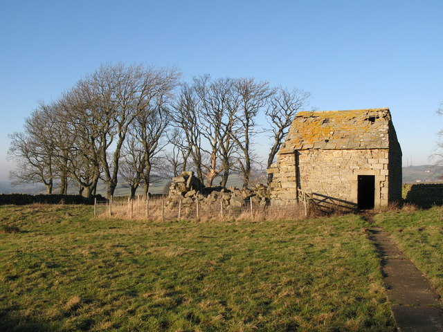
Housty bastle
Introduction
The photograph on this page of Housty bastle by Mike Quinn as part of the Geograph project.
The Geograph project started in 2005 with the aim of publishing, organising and preserving representative images for every square kilometre of Great Britain, Ireland and the Isle of Man.
There are currently over 7.5m images from over 14,400 individuals and you can help contribute to the project by visiting https://www.geograph.org.uk

Image: © Mike Quinn Taken: 19 Dec 2007
'Housty is a farm on the east side of the East Allen valley. The farmhouse is dated 1736, but to the north of it is an open area, or green, between ranges of earlier houses. On the north side of the green is an 18th or 19th century byre that is built onto the east end of a bastle, which in turn is built on the east gable of an earlier bastle. All that remains of the earliest bastle is the lower part of the east end, the wall being 1.21m thick. An impressive byre doorway stands in the centre of the wall and has a monolithic lintel. The second bastle is also a ruin and has walls 0.85m thick built of massive stones. Other building foundations to the south may also contain remains of bastles.' {Source: "Keys to the Past" website.}

