Engineering works on north side of Grange Road
Introduction
The photograph on this page of Engineering works on north side of Grange Road by Roger Templeman as part of the Geograph project.
The Geograph project started in 2005 with the aim of publishing, organising and preserving representative images for every square kilometre of Great Britain, Ireland and the Isle of Man.

There are currently over 7.5m images from over 14,400 individuals and you can help contribute to the project by visiting https://www.geograph.org.uk
Engineering works on north side of Grange Road
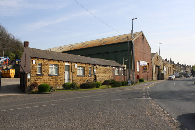
Image: © Roger Templeman Taken: 19 Apr 2019
Ordnance Survey documents indicate that in 1962 a benchmark levelled at 56.196m above Newlyn Datum was verified at the right hand end of the nearer of two single storey buildings which appear to have been converted to a single building now (note the change in wall construction and roof material where the gap was).
Images are licensed for reuse under creativecommons.org/licenses/by-sa/2.0
Image Location
Latitude
53.708852
Longitude
-1.620008