Wormingford Bridge
Introduction
The photograph on this page of Wormingford Bridge by John Lemay as part of the Geograph project.
The Geograph project started in 2005 with the aim of publishing, organising and preserving representative images for every square kilometre of Great Britain, Ireland and the Isle of Man.

There are currently over 7.5m images from over 14,400 individuals and you can help contribute to the project by visiting https://www.geograph.org.uk
Wormingford Bridge
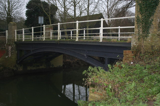
Image: © John Lemay Taken: 1 Jan 2008
A modest cast iron bridge over the River Stour, dating from the 1870's. It is still in use today, albeit with a weight limit of 8 tonnes.
Images are licensed for reuse under creativecommons.org/licenses/by-sa/2.0
Image Location
Latitude
51.960963
Longitude
0.812333