Public Footpath
Introduction
The photograph on this page of Public Footpath by jeff collins as part of the Geograph project.
The Geograph project started in 2005 with the aim of publishing, organising and preserving representative images for every square kilometre of Great Britain, Ireland and the Isle of Man.

There are currently over 7.5m images from over 14,400 individuals and you can help contribute to the project by visiting https://www.geograph.org.uk
Public Footpath
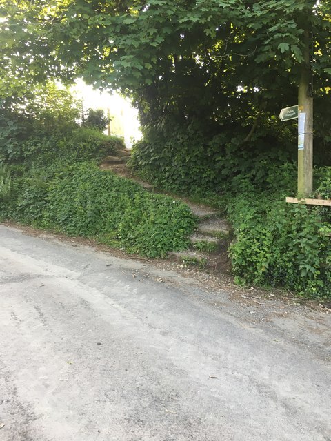
Image: © jeff collins Taken: 9 May 2020
This footpath has been redirected due to the large housing estate being built. It starts from Godwell Lane and used to cross a field to rejoin another minor road, close to the A38. Now it winds its way through the new in progress estate.
Images are licensed for reuse under creativecommons.org/licenses/by-sa/2.0
Image Location
Latitude
50.386263
Longitude
-3.906802