Cutting on the A483
Introduction
The photograph on this page of Cutting on the A483 by John Gibson as part of the Geograph project.
The Geograph project started in 2005 with the aim of publishing, organising and preserving representative images for every square kilometre of Great Britain, Ireland and the Isle of Man.

There are currently over 7.5m images from over 14,400 individuals and you can help contribute to the project by visiting https://www.geograph.org.uk
Cutting on the A483
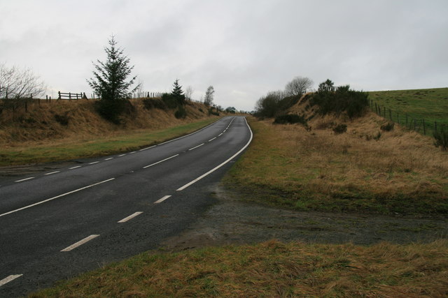
Image: © John Gibson Taken: 1 Jan 2008
This is a cutting on that section of the main A483 trunk road that runs from Newport/Y Drenewydd to Llandrindod Wells/Llandrindod. Upgrading the road has led to the creation of this cutting, which is located at Camnant. Not a vehicle to be seen on this New Year's Day morning.
Images are licensed for reuse under creativecommons.org/licenses/by-sa/2.0
Image Location
Latitude
52.440361
Longitude
-3.345739