North east part of Peregrine Road
Introduction
The photograph on this page of North east part of Peregrine Road by Ad-lad as part of the Geograph project.
The Geograph project started in 2005 with the aim of publishing, organising and preserving representative images for every square kilometre of Great Britain, Ireland and the Isle of Man.

There are currently over 7.5m images from over 14,400 individuals and you can help contribute to the project by visiting https://www.geograph.org.uk
North east part of Peregrine Road
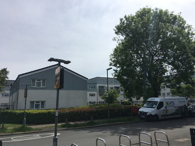
Image: © Ad-lad Taken: 8 May 2020
Relatively prettily designed apartments, some are socially rented and landscaping outlay is reasonable. Crossing the main road gives a short pleasant walk under the flyover bridge to Upper Halliford station. The zone is stubbornly outside of Zone 6 in transport.
Images are licensed for reuse under creativecommons.org/licenses/by-sa/2.0
Image Location
Latitude
51.412965
Longitude
-0.426725