Northwest access point to Halliford Park
Introduction
The photograph on this page of Northwest access point to Halliford Park by Ad-lad as part of the Geograph project.
The Geograph project started in 2005 with the aim of publishing, organising and preserving representative images for every square kilometre of Great Britain, Ireland and the Isle of Man.

There are currently over 7.5m images from over 14,400 individuals and you can help contribute to the project by visiting https://www.geograph.org.uk
Northwest access point to Halliford Park
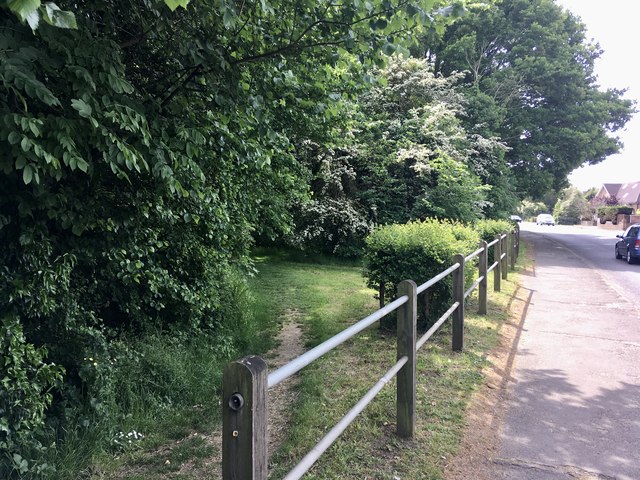
Image: © Ad-lad Taken: 8 May 2020
West and south sides of park are full of ways in (and out) this proves to be the most natural and perhaps scenic of all for the main part of the woods in the park. From here several diverging paths come together. Upper Halliford Road adjoins the west side of the park.
Images are licensed for reuse under creativecommons.org/licenses/by-sa/2.0
Image Location
Latitude
51.408983
Longitude
-0.431606