The lake at Crossway Park, Thamesmead
Introduction
The photograph on this page of The lake at Crossway Park, Thamesmead by Marathon as part of the Geograph project.
The Geograph project started in 2005 with the aim of publishing, organising and preserving representative images for every square kilometre of Great Britain, Ireland and the Isle of Man.

There are currently over 7.5m images from over 14,400 individuals and you can help contribute to the project by visiting https://www.geograph.org.uk
The lake at Crossway Park, Thamesmead
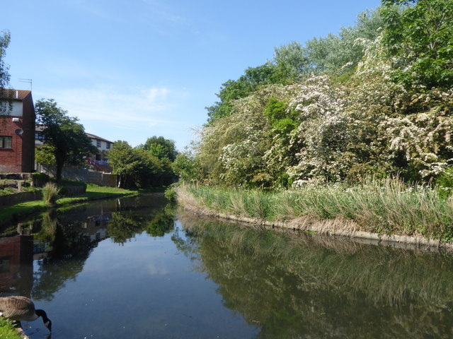
Image: © Marathon Taken: 8 May 2020
This is near the end of Watersmeet Way and is part of the Thamesmead Ecology Study Area. The island on the other side is not accessible. See https://londongardenstrust.org/inventory/gardens-online-record.php?ID=BEX012 for more information.
Images are licensed for reuse under creativecommons.org/licenses/by-sa/2.0
Image Location
Latitude
51.510909
Longitude
0.125285