Old quarry near Cwmyrhiwdre
Introduction
The photograph on this page of Old quarry near Cwmyrhiwdre by John Gibson as part of the Geograph project.
The Geograph project started in 2005 with the aim of publishing, organising and preserving representative images for every square kilometre of Great Britain, Ireland and the Isle of Man.

There are currently over 7.5m images from over 14,400 individuals and you can help contribute to the project by visiting https://www.geograph.org.uk
Old quarry near Cwmyrhiwdre
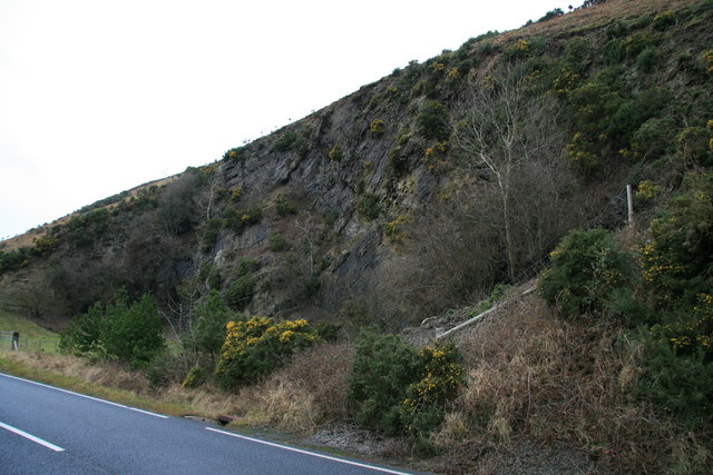
Image: © John Gibson Taken: 1 Jan 2008
This disused quarry on the south-western slopes of The Glog lies beside the A483, just before the sharp loop in the road and the climb up to Gwynant, if travelling south from Newtown and Dolfor. The rock face exhibits interesting folding and faulting, and people travelling by car etc can view the quarry by parking in the conveniently placed lay-by.
Images are licensed for reuse under creativecommons.org/licenses/by-sa/2.0
Image Location


Leaflet Map data © OpenStreetMap
Latitude
52.453327
Longitude
-3.344074