Chapelton Burial Ground
Introduction
The photograph on this page of Chapelton Burial Ground by wrobison as part of the Geograph project.
The Geograph project started in 2005 with the aim of publishing, organising and preserving representative images for every square kilometre of Great Britain, Ireland and the Isle of Man.

There are currently over 7.5m images from over 14,400 individuals and you can help contribute to the project by visiting https://www.geograph.org.uk
Chapelton Burial Ground
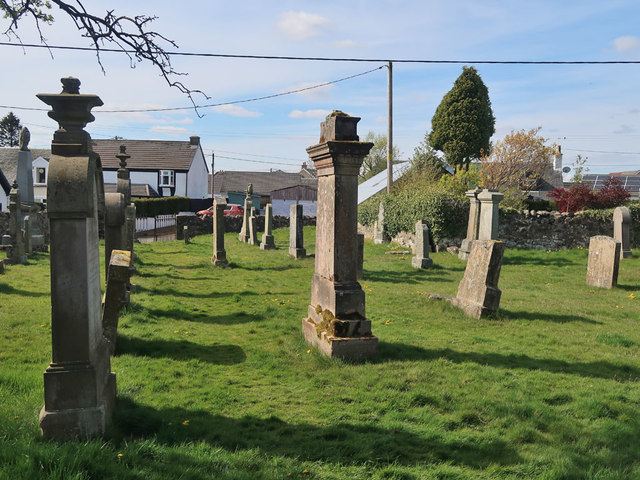
Image: © wrobison Taken: 5 May 2020
This is the old part of the burial ground which is next to the site of the old church. The church has been demolished and the burial ground has been extended into the site, behind the photographer.
Images are licensed for reuse under creativecommons.org/licenses/by-sa/2.0
Image Location
Latitude
55.711512
Longitude
-4.093933