Bramley Avenue
Introduction
The photograph on this page of Bramley Avenue by Ad-lad as part of the Geograph project.
The Geograph project started in 2005 with the aim of publishing, organising and preserving representative images for every square kilometre of Great Britain, Ireland and the Isle of Man.

There are currently over 7.5m images from over 14,400 individuals and you can help contribute to the project by visiting https://www.geograph.org.uk
Bramley Avenue
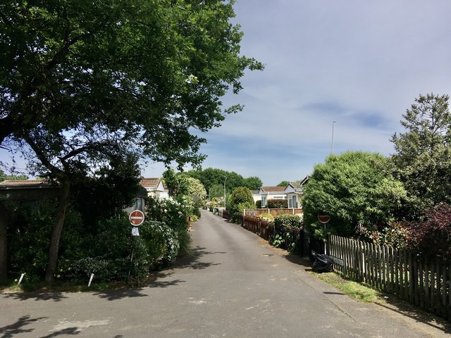
Image: © Ad-lad Taken: 8 May 2020
Asphalt path between homes, their means of access.
Images are licensed for reuse under creativecommons.org/licenses/by-sa/2.0
Image Location
Latitude
51.406325
Longitude
-0.427815