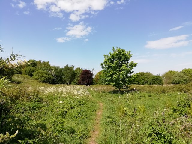
Footpath through Childwall Fields
Introduction
The photograph on this page of Footpath through Childwall Fields by Sue Adair as part of the Geograph project.
The Geograph project started in 2005 with the aim of publishing, organising and preserving representative images for every square kilometre of Great Britain, Ireland and the Isle of Man.
There are currently over 7.5m images from over 14,400 individuals and you can help contribute to the project by visiting https://www.geograph.org.uk

Image: © Sue Adair Taken: 7 May 2020
Childwall Fields was once the parkland of the 18th Century Childwall Hall. In 1947, the 5th Marquess of Salisbury presented Childwall Hall to Liverpool Corporation who intended to establish a county college, however the house was found to be unsuitable and riddled with dry rot, it was demolished in 1949. For more information:- http://www.childwall.info/childwall-hall/4576517933 As part of the Mersey Forest project and planted with native deciduous trees, this area and adjoining woodlands is capable of supporting a wide range of species.

