Philip Bent Road, Ashby-de-la-Zouch
Introduction
The photograph on this page of Philip Bent Road, Ashby-de-la-Zouch by Oliver Mills as part of the Geograph project.
The Geograph project started in 2005 with the aim of publishing, organising and preserving representative images for every square kilometre of Great Britain, Ireland and the Isle of Man.

There are currently over 7.5m images from over 14,400 individuals and you can help contribute to the project by visiting https://www.geograph.org.uk
Philip Bent Road, Ashby-de-la-Zouch
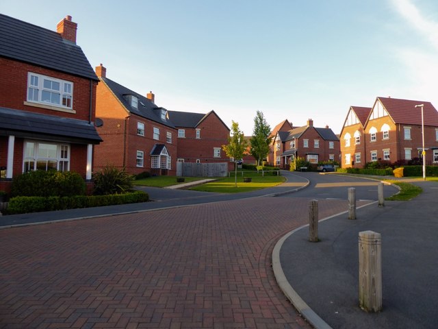
Image: © Oliver Mills Taken: 5 May 2020
A relatively new housing estate, completed in about 2015. A public footpath running through the previously undeveloped field is now re-routed through the estate.
Images are licensed for reuse under creativecommons.org/licenses/by-sa/2.0
Image Location
Latitude
52.745291
Longitude
-1.488747