Brook below Garreg
Introduction
The photograph on this page of Brook below Garreg by John Gibson as part of the Geograph project.
The Geograph project started in 2005 with the aim of publishing, organising and preserving representative images for every square kilometre of Great Britain, Ireland and the Isle of Man.

There are currently over 7.5m images from over 14,400 individuals and you can help contribute to the project by visiting https://www.geograph.org.uk
Brook below Garreg
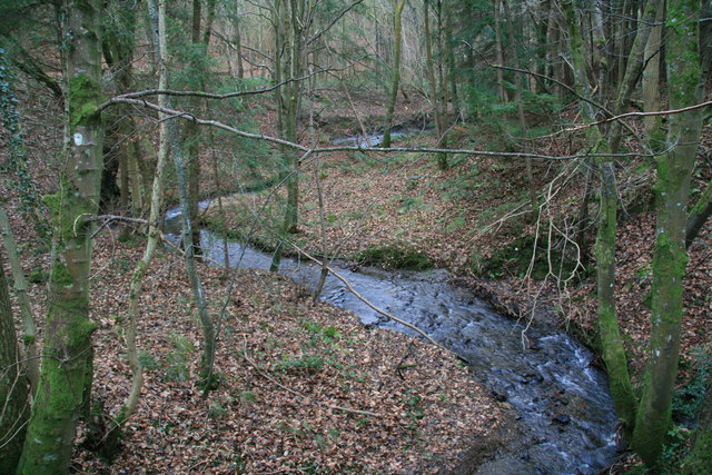
Image: © John Gibson Taken: 1 Jan 2008
This brook, un-named on the 1:25,000 sheet, flows from the direction of Cwm-corn and Dolfor Hall Wood. In the photo it is meandering through native woodland in a little valley south of Garreg, passing under the lane to Garth Hailyn and heading broadly north-westerly to join the Cwm-y-rhiwdre Brook.
Images are licensed for reuse under creativecommons.org/licenses/by-sa/2.0
Image Location


Leaflet Map data © OpenStreetMap
Latitude
52.475981
Longitude
-3.336372