Civilian victims of the Blitz, Plumstead Cemetery
Introduction
The photograph on this page of Civilian victims of the Blitz, Plumstead Cemetery by Marathon as part of the Geograph project.
The Geograph project started in 2005 with the aim of publishing, organising and preserving representative images for every square kilometre of Great Britain, Ireland and the Isle of Man.

There are currently over 7.5m images from over 14,400 individuals and you can help contribute to the project by visiting https://www.geograph.org.uk
Civilian victims of the Blitz, Plumstead Cemetery
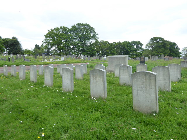
Image: © Marathon Taken: 3 May 2020
The site now occupied by Plumstead Cemetery was formerly parkland that was laid out during the 17th century. The land was owned by Old Park Farm in 1845. Plumstead Cemetery was opened by Woolwich Burial Board in 1890. It occupies a prominent hillside and is backed to the north by Bostall Woods. The chapel is in French 'flamboyant' style. For much more detail about the cemetery see http://www.londongardensonline.org.uk/gardens-online-record.asp?ID=GRN040 See also https://www.geograph.org.uk/photo/4328523 and https://www.geograph.org.uk/photo/6465500
Images are licensed for reuse under creativecommons.org/licenses/by-sa/2.0
Image Location
Latitude
51.476126
Longitude
0.114307