Country lane near Graig
Introduction
The photograph on this page of Country lane near Graig by John Gibson as part of the Geograph project.
The Geograph project started in 2005 with the aim of publishing, organising and preserving representative images for every square kilometre of Great Britain, Ireland and the Isle of Man.

There are currently over 7.5m images from over 14,400 individuals and you can help contribute to the project by visiting https://www.geograph.org.uk
Country lane near Graig
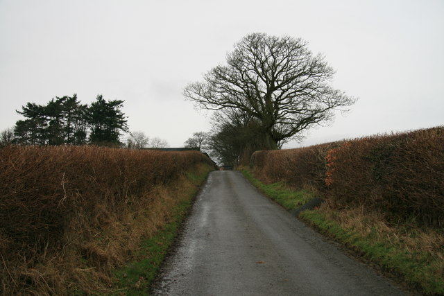
Image: © John Gibson Taken: 1 Jan 2008
This is a section of the narrow lane that runs from the A483 near Glascoed roughly eastwards through Bank and Graig. The picture is looking uphill towards the farm at Graig, where the traditional hedgerows have recently been trimmed for the winter.
Images are licensed for reuse under creativecommons.org/licenses/by-sa/2.0
Image Location
Latitude
52.485855
Longitude
-3.32975