Mixed woodland at Pen-y-banc
Introduction
The photograph on this page of Mixed woodland at Pen-y-banc by John Gibson as part of the Geograph project.
The Geograph project started in 2005 with the aim of publishing, organising and preserving representative images for every square kilometre of Great Britain, Ireland and the Isle of Man.

There are currently over 7.5m images from over 14,400 individuals and you can help contribute to the project by visiting https://www.geograph.org.uk
Mixed woodland at Pen-y-banc
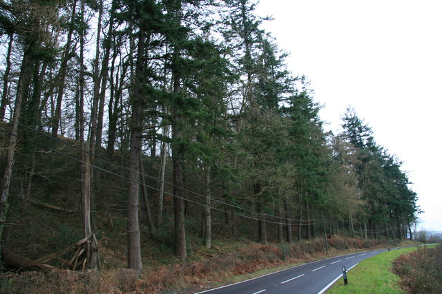
Image: © John Gibson Taken: 1 Jan 2008
Pen-y-banc Wood lies south-west of Newtown/Y Drenewydd, beside the A483 on the section known locally as the Dolfor Road.
Images are licensed for reuse under creativecommons.org/licenses/by-sa/2.0
Image Location
Latitude
52.496229
Longitude
-3.334629