Newsteads Farmhouse, Earsdon Road, West Monkseaton
Introduction
The photograph on this page of Newsteads Farmhouse, Earsdon Road, West Monkseaton by Geoff Holland as part of the Geograph project.
The Geograph project started in 2005 with the aim of publishing, organising and preserving representative images for every square kilometre of Great Britain, Ireland and the Isle of Man.

There are currently over 7.5m images from over 14,400 individuals and you can help contribute to the project by visiting https://www.geograph.org.uk
Newsteads Farmhouse, Earsdon Road, West Monkseaton
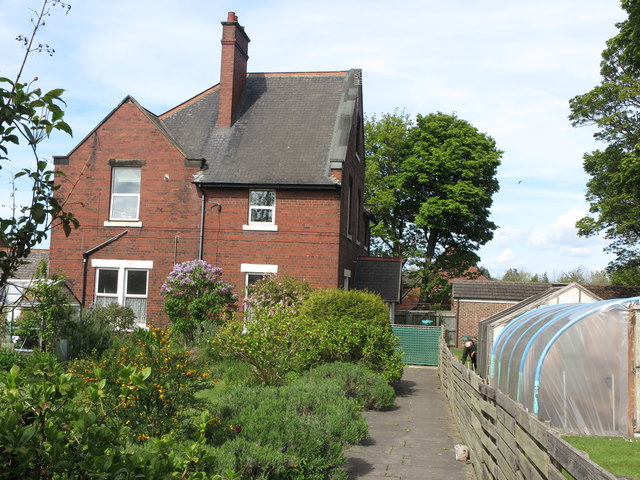
Image: © Geoff Holland Taken: 5 May 2020
This brick building, which first appeared on the 1920 edition of the Ordnance Survey Six-Inch map of the area, once formed part of Newsteads Farm and then the local Council's (Whitley Bay Borough Council and North Tyneside Council) nursery garden but has now been converted into two separate dwellings. Whilst the building itself falls within this Grid Square, the garden lies within Grid Square NZ3371. For a selection of detailed free to download walking routes in the area visit www.northynesidewalks.co.uk
Images are licensed for reuse under creativecommons.org/licenses/by-sa/2.0
Image Location
Latitude
55.041395
Longitude
-1.479034