Southfield Hall, 2012
Introduction
The photograph on this page of Southfield Hall, 2012 by Robin Webster as part of the Geograph project.
The Geograph project started in 2005 with the aim of publishing, organising and preserving representative images for every square kilometre of Great Britain, Ireland and the Isle of Man.

There are currently over 7.5m images from over 14,400 individuals and you can help contribute to the project by visiting https://www.geograph.org.uk
Southfield Hall, 2012
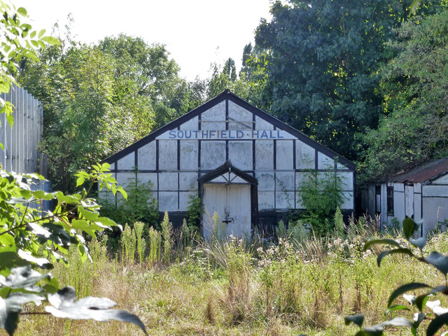
Image: © Robin Webster Taken: 22 Sep 2012
Now demolished (unsurprisingly) and flats built on the site. Formerly a place of worship for Brethren.
Images are licensed for reuse under creativecommons.org/licenses/by-sa/2.0
Image Location
Latitude
51.498488
Longitude
-0.302705