Hazelville Road, Upper Holloway
Introduction
The photograph on this page of Hazelville Road, Upper Holloway by David Howard as part of the Geograph project.
The Geograph project started in 2005 with the aim of publishing, organising and preserving representative images for every square kilometre of Great Britain, Ireland and the Isle of Man.

There are currently over 7.5m images from over 14,400 individuals and you can help contribute to the project by visiting https://www.geograph.org.uk
Hazelville Road, Upper Holloway
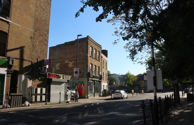
Image: © David Howard Taken: 5 May 2020
This part of N19 is closer to Finsbury Park than Archway. It then extends to Crouch End to the east.
Images are licensed for reuse under creativecommons.org/licenses/by-sa/2.0
Image Location
Latitude
51.569487
Longitude
-0.124655