Pooley Bridge village from Heughscar Hill
Introduction
The photograph on this page of Pooley Bridge village from Heughscar Hill by Michael Earnshaw as part of the Geograph project.
The Geograph project started in 2005 with the aim of publishing, organising and preserving representative images for every square kilometre of Great Britain, Ireland and the Isle of Man.

There are currently over 7.5m images from over 14,400 individuals and you can help contribute to the project by visiting https://www.geograph.org.uk
Pooley Bridge village from Heughscar Hill
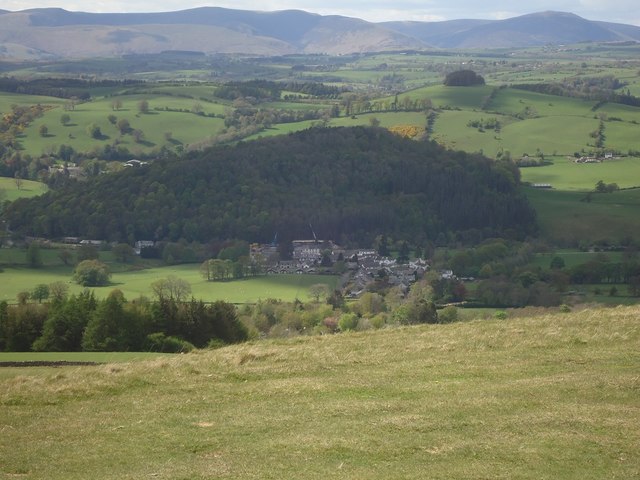
Image: © Michael Earnshaw Taken: 2 May 2020
The village is seen clearly here, with the trees on Dunmallet (or Dunmallard) Hill just beyond it. In the distance are the hills of Northern Lakeland. Almost dead centre can be seen the two cranes which will be used, I hope within the next few days, to lift the new bridge across the River Eamont into position over the river. For a history of the bridges old and new, see www.geograph.org.uk/article/The-Pooley-Bridges.
Images are licensed for reuse under creativecommons.org/licenses/by-sa/2.0
Image Location
Latitude
54.612597
Longitude
-2.821371