Top end of Grange Road North
Introduction
The photograph on this page of Top end of Grange Road North by Gerald England as part of the Geograph project.
The Geograph project started in 2005 with the aim of publishing, organising and preserving representative images for every square kilometre of Great Britain, Ireland and the Isle of Man.

There are currently over 7.5m images from over 14,400 individuals and you can help contribute to the project by visiting https://www.geograph.org.uk
Top end of Grange Road North
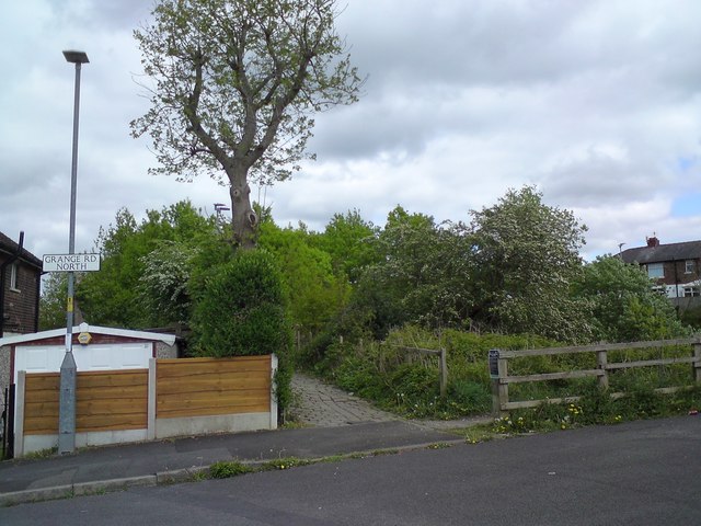
Image: © Gerald England Taken: 2 May 2020
The cobbled path in the centre leads to Bridge #126 Image over the former railway line from Godley Junction to Apethorn. The footbridge connects to the bottom of Grange Road South. On the right a footpath zig-zags down the embankment on to the former trackbed which is now utilised by the Trans Pennine Trail and National Cycle Network Route #62.
Images are licensed for reuse under creativecommons.org/licenses/by-sa/2.0
Image Location
Latitude
53.447516
Longitude
-2.06621