Boggy ground
Introduction
The photograph on this page of Boggy ground by Bill Kasman as part of the Geograph project.
The Geograph project started in 2005 with the aim of publishing, organising and preserving representative images for every square kilometre of Great Britain, Ireland and the Isle of Man.

There are currently over 7.5m images from over 14,400 individuals and you can help contribute to the project by visiting https://www.geograph.org.uk
Boggy ground
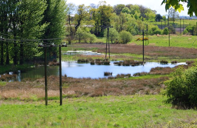
Image: © Bill Kasman Taken: 4 May 2020
This marshy area is adjacent to the Diageo distillery in Leven (on the left beyond the trees). It is fed by the Mill Lade burn.
Images are licensed for reuse under creativecommons.org/licenses/by-sa/2.0
Image Location
Latitude
56.199856
Longitude
-3.037431