Old Boundary Marker
Introduction
The photograph on this page of Old Boundary Marker by J Kawasaki as part of the Geograph project.
The Geograph project started in 2005 with the aim of publishing, organising and preserving representative images for every square kilometre of Great Britain, Ireland and the Isle of Man.

There are currently over 7.5m images from over 14,400 individuals and you can help contribute to the project by visiting https://www.geograph.org.uk
Old Boundary Marker
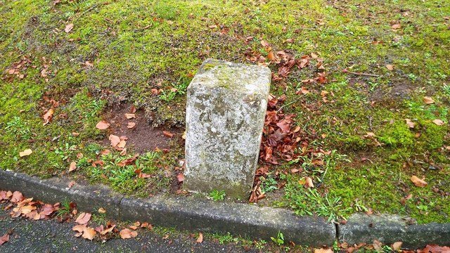
Image: © J Kawasaki Taken: 4 Nov 2017
Air Ministry Boundary Marker on the south side of Milston Road on Netheravon airfield. FIGHELDEAN parish. Inscribed A M / 24. Milestone Society National ID: WI_FIGH24em
Images are licensed for reuse under creativecommons.org/licenses/by-sa/2.0
Image Location
Latitude
51.238592
Longitude
-1.782091