NCN28 approaching Totnes
Introduction
The photograph on this page of NCN28 approaching Totnes by Derek Harper as part of the Geograph project.
The Geograph project started in 2005 with the aim of publishing, organising and preserving representative images for every square kilometre of Great Britain, Ireland and the Isle of Man.

There are currently over 7.5m images from over 14,400 individuals and you can help contribute to the project by visiting https://www.geograph.org.uk
NCN28 approaching Totnes
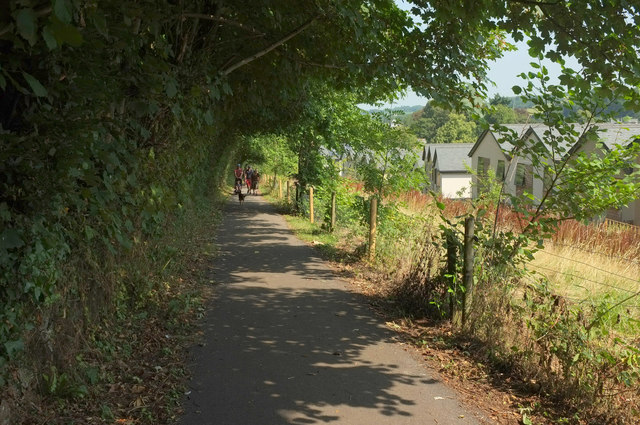
Image: © Derek Harper Taken: 2 Aug 2019
On the right is new housing built on the former line of Totnes Footpath 2, so I would conclude that this stretch of cycle path also carries the footpath, the John Musgrave Heritage Trail and Dart Valley Trail, which used the old path.
Images are licensed for reuse under creativecommons.org/licenses/by-sa/2.0
Image Location
Latitude
50.42641
Longitude
-3.683147