Ensbury Park: Ensbury Close
Introduction
The photograph on this page of Ensbury Park: Ensbury Close by Chris Downer as part of the Geograph project.
The Geograph project started in 2005 with the aim of publishing, organising and preserving representative images for every square kilometre of Great Britain, Ireland and the Isle of Man.

There are currently over 7.5m images from over 14,400 individuals and you can help contribute to the project by visiting https://www.geograph.org.uk
Ensbury Park: Ensbury Close
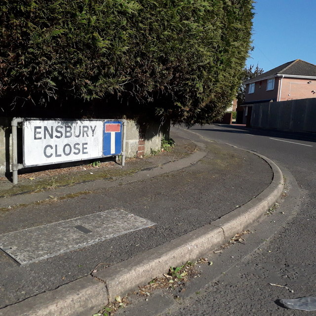
Image: © Chris Downer Taken: 13 Apr 2020
A 1980s (or maybe late 70s, when Ensbury Avenue was extended from about here into the new council estate) cul-de-sac off Ensbury Avenue. One of the addresses, perhaps the one pictured as it is a house rather than a bungalow, was the caretaker's house of the almost adjacent Glenmoor girls' secondary school. The sign is the standard Bournemouth nameplate from the 1980s, affixed with tubular steel which protrudes at each side. For cul-de-sacs, it is common for these to incorporate the no-through road sign, as here. This is photo no.134 of a series of 453 in my coronavirus lockdown walking project: See https://www.geograph.org.uk/article/My-2020-Coronavirus-Lockdown-walking-project for the complete set of photos.
Images are licensed for reuse under creativecommons.org/licenses/by-sa/2.0
Image Location
Latitude
50.748791
Longitude
-1.890664