Great Wilbraham: Butt Lane
Introduction
The photograph on this page of Great Wilbraham: Butt Lane by John Sutton as part of the Geograph project.
The Geograph project started in 2005 with the aim of publishing, organising and preserving representative images for every square kilometre of Great Britain, Ireland and the Isle of Man.

There are currently over 7.5m images from over 14,400 individuals and you can help contribute to the project by visiting https://www.geograph.org.uk
Great Wilbraham: Butt Lane
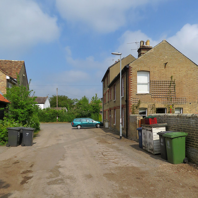
Image: © John Sutton Taken: 4 May 2020
Looking towards the corner of High Street and Angle End on a May morning. York House, on the right, dates from 1886.
Images are licensed for reuse under creativecommons.org/licenses/by-sa/2.0
Image Location


Leaflet Map data © OpenStreetMap
Latitude
52.193477
Longitude
0.267726