Little Wilbraham: the end of High Street
Introduction
The photograph on this page of Little Wilbraham: the end of High Street by John Sutton as part of the Geograph project.
The Geograph project started in 2005 with the aim of publishing, organising and preserving representative images for every square kilometre of Great Britain, Ireland and the Isle of Man.

There are currently over 7.5m images from over 14,400 individuals and you can help contribute to the project by visiting https://www.geograph.org.uk
Little Wilbraham: the end of High Street
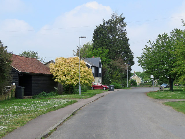
Image: © John Sutton Taken: 4 May 2020
Beyond the tall tree the road forks: left along Mill Road to the windmill and Hawk Mill Farm, right along Fen Road to Frog End. One of the three Mary Layton Almshouses shows to the right of the tall tree.
Images are licensed for reuse under creativecommons.org/licenses/by-sa/2.0
Image Location
Latitude
52.202692
Longitude
0.251364