Old Boundary Marker
Introduction
The photograph on this page of Old Boundary Marker by Mike Rayner as part of the Geograph project.
The Geograph project started in 2005 with the aim of publishing, organising and preserving representative images for every square kilometre of Great Britain, Ireland and the Isle of Man.

There are currently over 7.5m images from over 14,400 individuals and you can help contribute to the project by visiting https://www.geograph.org.uk
Old Boundary Marker
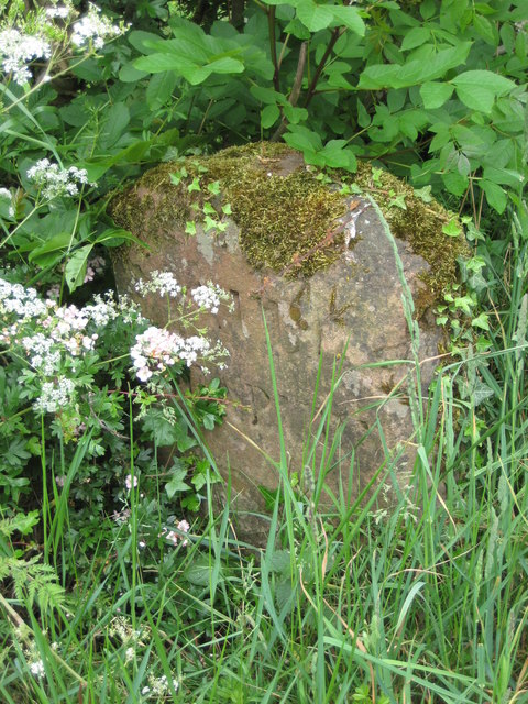
Image: © Mike Rayner Taken: 2 Jun 2019
Parish Boundary Marker at the foot of a hedge between the road junction and a bridge on Littlebeck Lane, Crosby Ravensworth. On the current boundary between Crosby Ravensworth and Kings Meaburn. Inscribed KINGS / MEABURN and MAULDS / MEABURN on opposite faces. Grade II Listed https://historicengland.org.uk/listing/the-list/list-entry/1326765. See also http://www.geograph.org.uk/photo/5299673 and http://www.geog.port.ac.uk/webmap/thelakes/photos/bus21.jpg. Milestone Society National ID: WE_KMEMME02pb
Images are licensed for reuse under creativecommons.org/licenses/by-sa/2.0
Image Location
Latitude
54.572355
Longitude
-2.582485