Tyersal Lane, looking uphill
Introduction
The photograph on this page of Tyersal Lane, looking uphill by Stephen Craven as part of the Geograph project.
The Geograph project started in 2005 with the aim of publishing, organising and preserving representative images for every square kilometre of Great Britain, Ireland and the Isle of Man.

There are currently over 7.5m images from over 14,400 individuals and you can help contribute to the project by visiting https://www.geograph.org.uk
Tyersal Lane, looking uphill
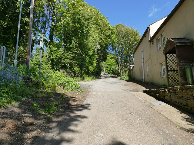
Image: © Stephen Craven Taken: 2 May 2020
A view from in front of the barrier that prevents motor traffic going any further down the hill than this.
Images are licensed for reuse under creativecommons.org/licenses/by-sa/2.0
Image Location
Latitude
53.790733
Longitude
-1.681504