A19 approaching Tyne Tunnel
Introduction
The photograph on this page of A19 approaching Tyne Tunnel by David Dixon as part of the Geograph project.
The Geograph project started in 2005 with the aim of publishing, organising and preserving representative images for every square kilometre of Great Britain, Ireland and the Isle of Man.

There are currently over 7.5m images from over 14,400 individuals and you can help contribute to the project by visiting https://www.geograph.org.uk
A19 approaching Tyne Tunnel
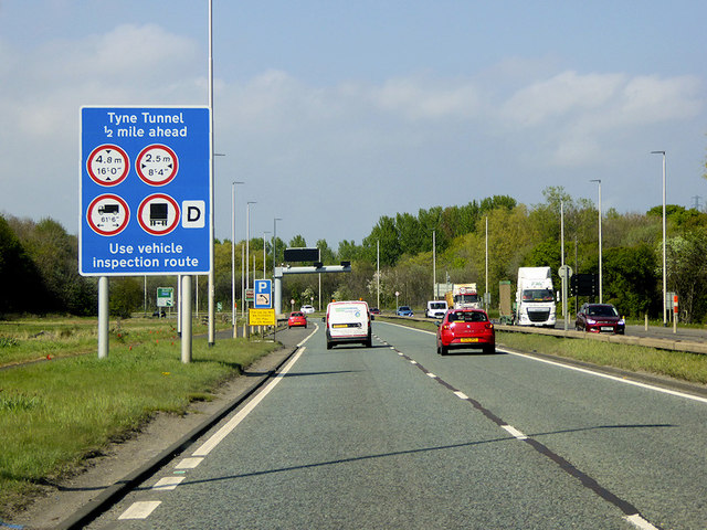
Image: © David Dixon Taken: 29 Apr 2019
The Tyne Tunnel is the furthest downstream fixed crossing of the River Tyne and is part of the A19. The original project consisted of a set of foot and cycle tunnels, opened in 1951, and a single carriageway road tunnel, which opened in 1967. The tunnel became a severe bottleneck during the 1980s and 1990s, and, in 2004, it was decided to build a second parallel tunnel. Construction started in 2008 and opened in early 2011. Traffic started using both tunnels and hence the route became dual carriageway in late 2011 (https://www.sabre-roads.org.uk/wiki/index.php?title=Tyne_Tunnel SABRE).
Images are licensed for reuse under creativecommons.org/licenses/by-sa/2.0
Image Location
Latitude
54.971648
Longitude
-1.475876