Path up on to Bleak Hill
Introduction
The photograph on this page of Path up on to Bleak Hill by Marathon as part of the Geograph project.
The Geograph project started in 2005 with the aim of publishing, organising and preserving representative images for every square kilometre of Great Britain, Ireland and the Isle of Man.

There are currently over 7.5m images from over 14,400 individuals and you can help contribute to the project by visiting https://www.geograph.org.uk
Path up on to Bleak Hill
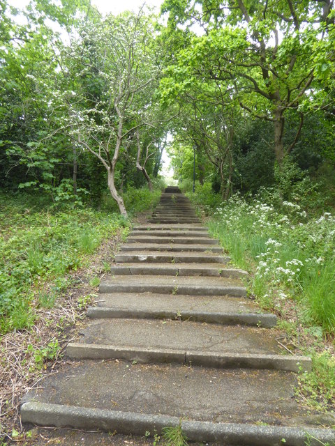
Image: © Marathon Taken: 30 Apr 2020
These steep steps (108 of them) lead up through woodland from King's Highway to Winns Common which in turn is part of Plumstead Common.
Images are licensed for reuse under creativecommons.org/licenses/by-sa/2.0
Image Location
Latitude
51.479629
Longitude
0.099491